Backcountry Skiing Bloody Mountain California
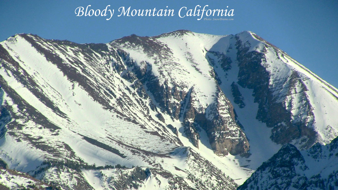
Bloody Couloir, Bloody Mountain
- Top of descent elevation: 12, 522’
- Descent in Vertical Feet: 5342’ (about 2600’ for the couloir proper)
- Slope: 40-45 degrees (depending on the time of year/snowfall)
- Aspect: North
- Distance from trailhead: 6.5 miles
- GPS: 37.561/-118.909
- USGS Map: Bloody Mountain
Notes: The Bloody Couloir is one of the most classic lines on California’s Eastside. Recently named as one of the 50 Classic Ski Descents of North America it’s hard to find a more prominent line off the 395 corridor. You can actually see the Bloody Couloir many miles away dropping down Conway Summit to Mono Lake, and as you get closer and closer to Mammoth Lakes it just looks better and better to ski. This line is a step up from the Pinner in terms of steepness and overall rowdy factor and your experience will greatly depend on the time of year you choose to ski it. It’s seen tracks as early as October and as late as July. The approach can be considerably shorter if the high-clearance four-wheel drive road leading to the base of the couloir is passable. Otherwise, it’s just a long slog to the base and boot up. Generally, the Bloody is considered to be about 42-43 degrees, but less snow in November or ample snow in May causes the pitch to either go or back off.
Information source https://adventuresportsjournal.com/three-classic-eastside-couloirs/
Backcountry Skiing Bloody Mountain California
Backcountry Skiing Bloody Mountain California
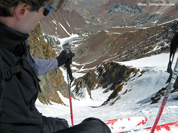
A central buttress divides the couloir into two main chutes, (climber's) left and right.
The left chute offers the best skiing—broad snowfields and a more moderate angle. But it is the right-hand chute, dropping sharply beneath the mountain's western summit, that attracts aspiring extremists seeking to test their steep-skiing skills. This narrow swatch of snow is usually hidden in shadow, looking steep and menacing from below. Beyond its apparent difficulty, of particular appeal is Bloody Couloir's easy access from Mammoth Lakes.
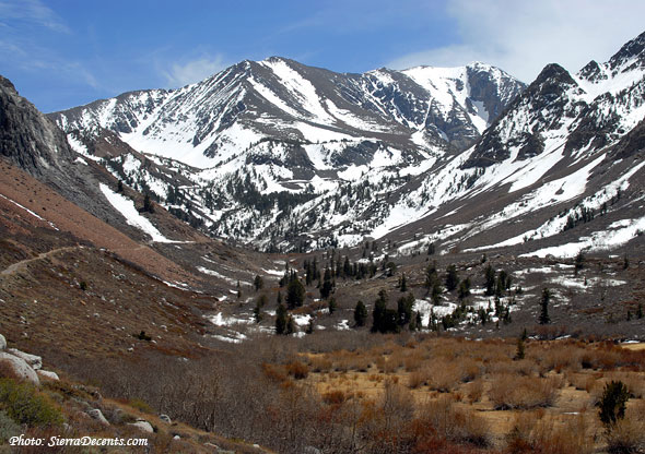
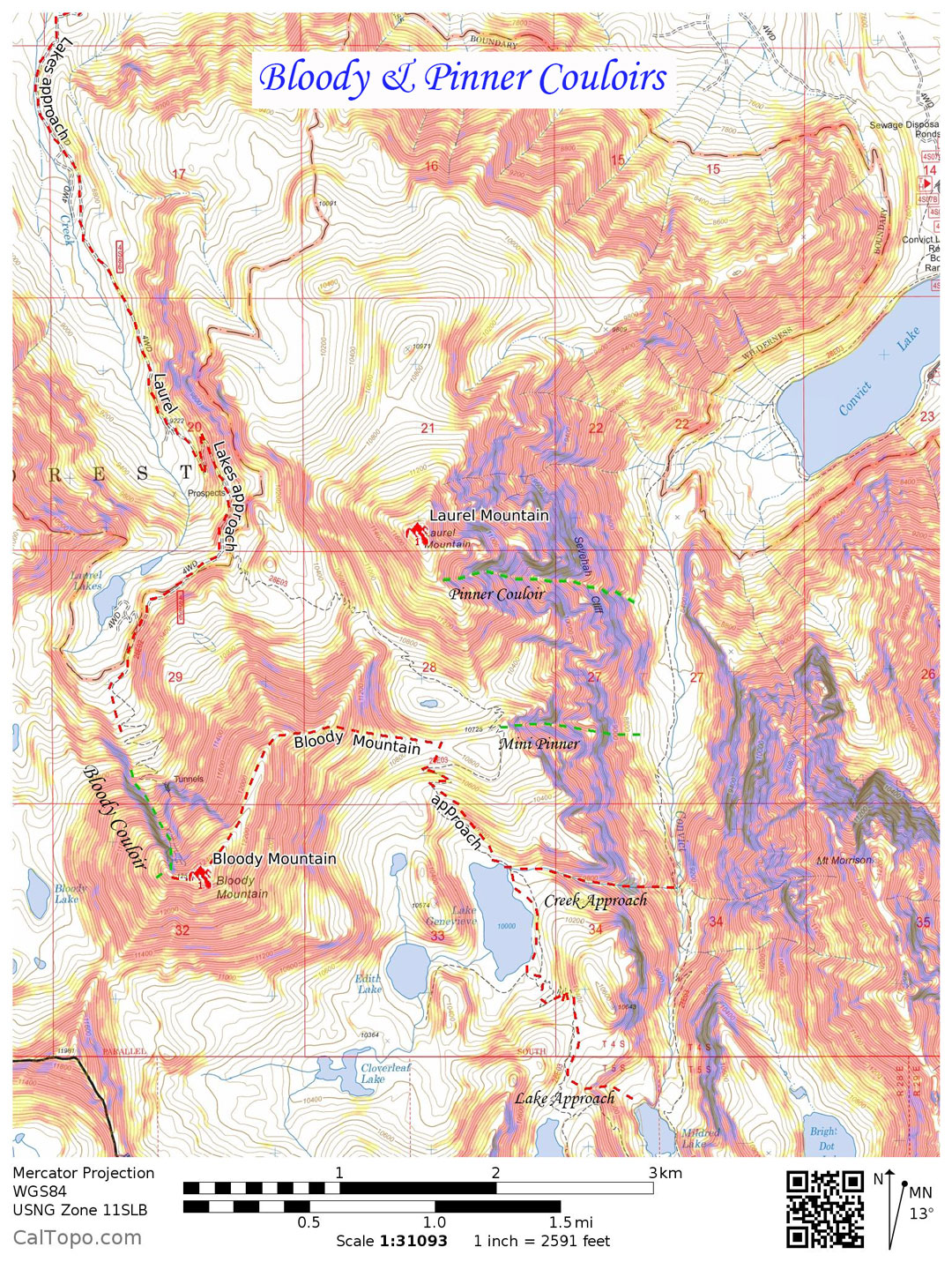
Depending on how much snow there is, it's possible to drive nearly all the way to Laurel Lakes, and the base of the couloir, an elevation of 10,000'. Regardless of snowfall, however, the drive requires a four-wheel drive vehicle (or an ATV), due to significant quantities of loose rock and boulders.
Naturally, I'd been interested in skiing Bloody Couloir for some time. But I didn't have 4WD, necessitating an extra 2200 vertical feet and four and a half miles of hiking. Trudging up a dusty road while four-wheelers cruised past just didn't sit well with me"
Article written by SierraDescents.com


